
Affiliate disclosure: As an Amazon Associate I earn from qualifying purchases. Learn more
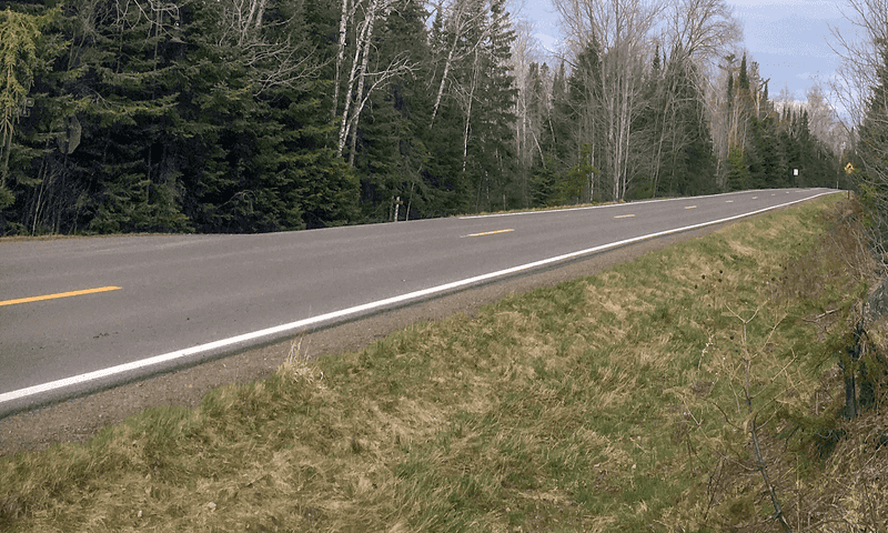
A road that starts on the edge of a small harbor town and runs 57 miles into deep northern woods sounds simple enough. Then a moose steps out of the trees, a chain of lakes appears around the next bend, and you realize this is no ordinary Sunday drive.
Fall paints the whole route in color, trails split off in every direction, and the pavement keeps climbing until it nearly touches the Canadian border. Anglers say you could stay for weeks and never fish the same water twice.
Curves come sharp and close, so the trip rewards patience as much as curiosity. What follows is a closer look at where this route begins, what makes it stand out, and how to plan a visit that leaves you wanting to turn around and drive it all over again.
Where The Trail Begins
Everything about this route starts in Grand Marais, a small harbor town perched on the shore of Lake Superior in northern Minnesota. The byway information center sits at 116 W Hwy 61 #205, Grand Marais, MN 55604, right where travelers can gather maps and details before heading north.
From that point, the road climbs away from the water and stretches 57 miles through Superior National Forest toward Saganaga Lake near the Canadian border. It is officially a National Scenic Byway, which means it earned recognition for its outstanding qualities.
The route carries a 4.8-star rating across its listing, a number that hints at how strongly people feel about the drive. Regulars mention that you simply cannot see it all in a single day.
Grand Marais gives the trip a proper launch pad, with restaurants and shops before the wilderness takes over. Beyond town, the pavement belongs almost entirely to the forest.
That combination of a friendly starting point and a wild destination is part of the appeal. The trail begins with comfort and ends with wide open wilderness.
A Ribbon Through Superior National Forest
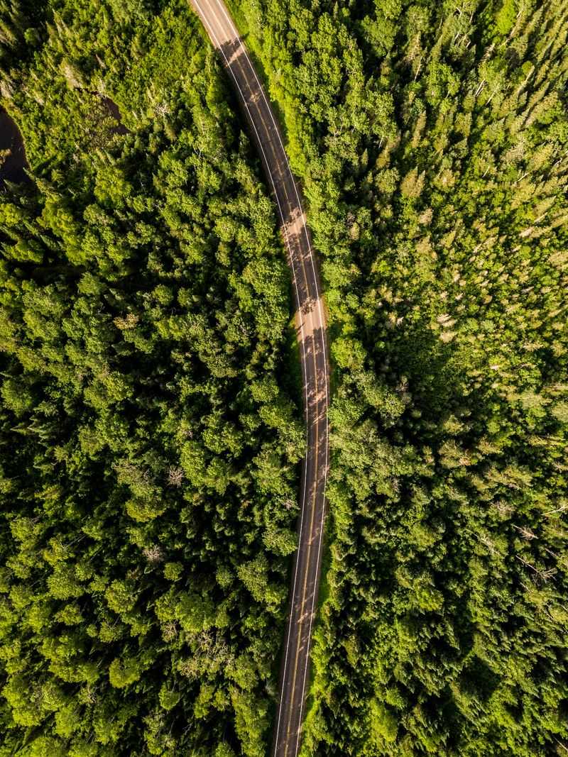
Superior National Forest wraps the entire drive in a sea of pines and hardwoods. The road threads through this landscape like a narrow ribbon, rarely straying far from trees on both sides.
People sometimes describe the setting as vast wilderness, and the numbers back that up. The forest covers a huge stretch of northern Minnesota, and the byway is one of the few paved ways to reach deep into it.
Along the way, the route passes countless lakes tucked between ridges. Anglers say you could get lost up here for weeks and still find new water to explore.
The drive suits people who love nature without demanding that they hike a single step. You can enjoy the scenery entirely from the comfort of the car.
For those who want more, side roads and trailheads branch off constantly. The forest never really lets go until the pavement runs out near the border.
Moose On The Move
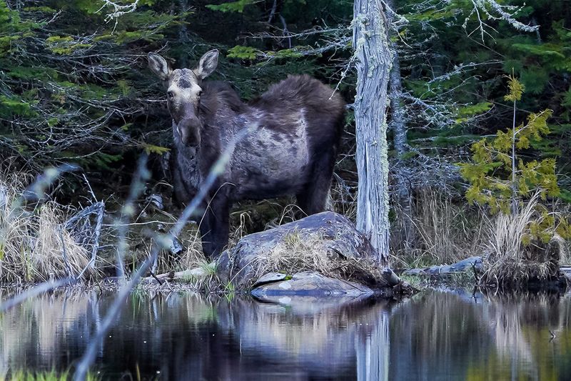
Wildlife watching is one of the biggest reasons people point their cars up this road. Moose sightings come up again and again among those who make the trip.
One traveler set out hoping to spot a single moose and ended up seeing two. Others report catching sight of the animals along with plenty of other creatures during their drive.
Bears also roam these woods, so the byway offers a genuine chance to see northern wildlife in its home range. Keeping your eyes on the tree line often pays off.
Early mornings and quiet evenings tend to be the best windows for spotting animals. Slow, patient driving raises your odds considerably.
Because moose are large and unpredictable, the same caution that protects them protects you. Watching for movement near the shoulder is smart no matter the season.
Few drives in the state deliver this kind of wildlife encounter so reliably. That alone puts the trail on many travelers’ lists.
Lakes Around Every Bend
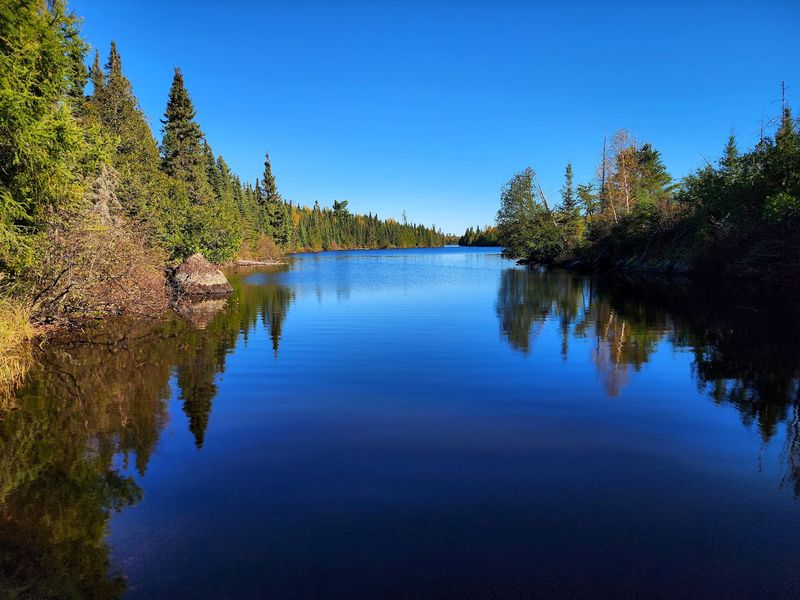
Water defines this corner of Minnesota, and the byway proves it at nearly every turn. The route eventually reaches Saganaga Lake up near the Canadian border, but dozens of smaller lakes appear long before that.
Fishing draws people here in a big way. The chance to cast on a different lake each day, for weeks on end, is a real draw for anglers.
Many of these lakes have public access points and pull-offs where drivers can stop and take in the view. Some connect into the famous canoe country of the region.
Even for those who never pick up a paddle or a rod, the lakes provide constant reward. They break up the forest with flashes of open sky and reflection.
The variety keeps the drive interesting mile after mile. No two stops feel quite the same.
Water lovers often find this stretch hard to leave behind. The lakes are simply everywhere.
Autumn Color Show
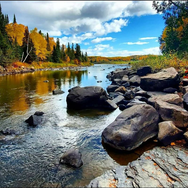
Fall turns this drive into something special, and plenty of travelers plan their trip around it. The foliage along the route earns high praise when the leaves change.
Maples and other hardwoods mixed among the pines light up in shades of red, orange, and gold. The autumn display is one of the most talked-about features of the whole byway.
Even people who visit in summer often remark that the drive would be even prettier in fall. That kind of comment says a lot about the season’s reputation.
The 57-mile stretch offers plenty of room for color to unfold, with surprises waiting at many turns. Photographers and leaf-peepers alike find the timing worth chasing.
Cooler air and quieter roads add to the appeal of an autumn visit. The season frames the forest at its most dramatic.
Anyone hoping to catch peak color should keep an eye on regional foliage updates. The window can be short but stunning.
Trails Waiting To Be Wandered
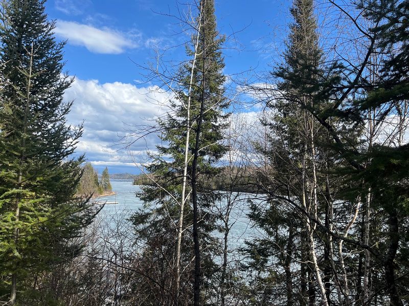
Hikers find no shortage of options branching off the main road. Trails wander in every direction, some short and easy, others long enough to swallow a whole day.
The area has been called one of the most stunning places to hike, and the network of paths backs that claim. Miles of trails link lakes, ridges, and quiet corners of the forest.
A few travelers note that the trails could use clearer marking in spots. Bringing a map or a good app helps keep you on track.
Camping pairs naturally with the hiking here, letting people extend a day trip into a longer adventure. Opportunities to fish, camp, and explore all overlap along the route.
The sheer amount of ground to cover means repeat visits rarely feel repetitive. There is always another trail to try.
For active travelers, the byway is as much a basecamp as a drive. The forest rewards those who leave the car behind for a while.
Curves That Ask For Caution
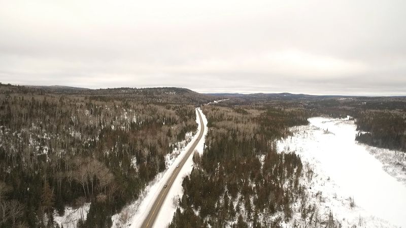
The road itself has a personality, and part of that comes from its twists. Some turns arrive sharp and close together, which keeps drivers alert.
Taking the route slowly is the way to go. Cautious driving lets you handle the bends and still soak in the scenery along the way.
Sharp curves combine with the chance of wildlife on the road to make a relaxed pace the smart choice. Rushing here misses the point entirely.
Beautiful views wait around many of those same turns, so slowing down is a reward rather than a chore. The scenery follows you the whole way.
Drivers who respect the road tend to enjoy it most. The trail is not built for speed.
Treat the drive as the destination and the curves become part of the fun. Patience turns a challenge into a pleasure.
Who Feels At Home Here
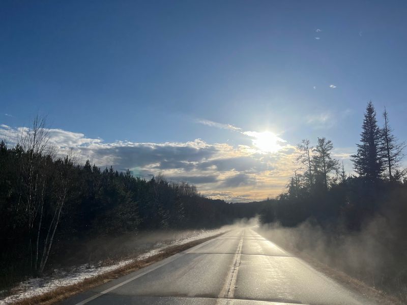
The byway welcomes a wide range of travelers, which is part of its charm. You can love it without ever lacing up hiking boots.
People who prefer to stay in the car find plenty to enjoy through the windshield. The drive stands on its own as a scenic experience.
At the same time, anglers, hikers, campers, and wildlife watchers all find their fit. The route stretches to cover many interests at once.
Families looking for a nature outing sit comfortably alongside solo explorers seeking solitude. The wilderness has room for both.
Not everyone falls head over heels, and a few find the endless trees ordinary. Most, though, come away impressed by the beauty.
The strong overall rating suggests the trail leaves a lasting mark on the majority who drive it. It rewards curiosity in almost any form.
Planning Your Visit
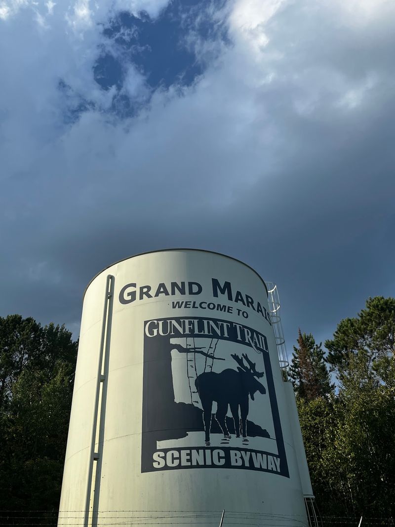
A little planning goes a long way before heading up the trail. The information center in Grand Marais sits at 116 W Hwy 61 #205 and serves as a helpful first stop.
Hours run from 10 AM to 4 PM Monday through Friday, with the office closed on Saturday and Sunday. Timing a stop within those windows lets you gather maps and current details.
The website at gunflinttrail.com offers more information for trip planning. Reaching out by phone at 218-387-2524 is another option for questions.
The drive itself covers 57 miles one way, so setting aside a full day or more makes sense. Attempting to rush it usually means missing the best parts.
Fuel up and stock supplies in Grand Marais before the wilderness stretch begins. Services thin out quickly once you leave town.
A relaxed schedule turns the trip from a checklist into an experience. Give yourself the time it deserves.
Why This Drive Stays With You
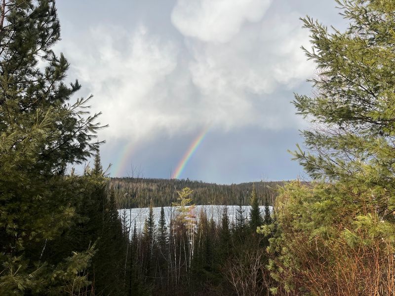
Some roads fade from memory the moment you reach the end. This one tends to linger.
The mix of deep forest, scattered lakes, roaming moose, and a road that climbs toward the border creates a trip that feels bigger than its 57 miles. People often say you would be crazy to be nearby and skip it.
A near-perfect rating and warm words from those who make the drive point to something genuine here. The praise leans heavily on beauty, wildlife, and a sense of true wilderness.
The trail works as a quick scenic outing or the start of a week-long adventure. It flexes to match whatever you bring to it.
Few drives in Minnesota pack this much variety into a single route. That range is exactly what keeps people coming back.
Point your car north from Grand Marais, take the turns slowly, and let the forest do the rest. The road toward the Canadian border has a way of calling travelers home again.