
Affiliate disclosure: As an Amazon Associate I earn from qualifying purchases. Learn more
Some trails ask for nothing but a pair of sneakers. This one asks you to climb a wooden ladder in the middle of a redwood canyon, and that alone makes it worth talking about.
North of San Francisco, on the slopes of Mount Tamalpais in Marin County, a short canyon route packs waterfalls, towering trees, and a creek into a little over two miles. It is busy, it is steep in spots, and it has earned a loyal following among Bay Area hikers for decades.
The ladder gets the headlines, but the full picture is bigger than one set of rungs. Keep reading for where the trail sits, what makes each stretch special, who it suits best, and the practical notes that can make a visit smoother, including a few honest caveats worth knowing before you lace up.
A Canyon on Mount Tamalpais
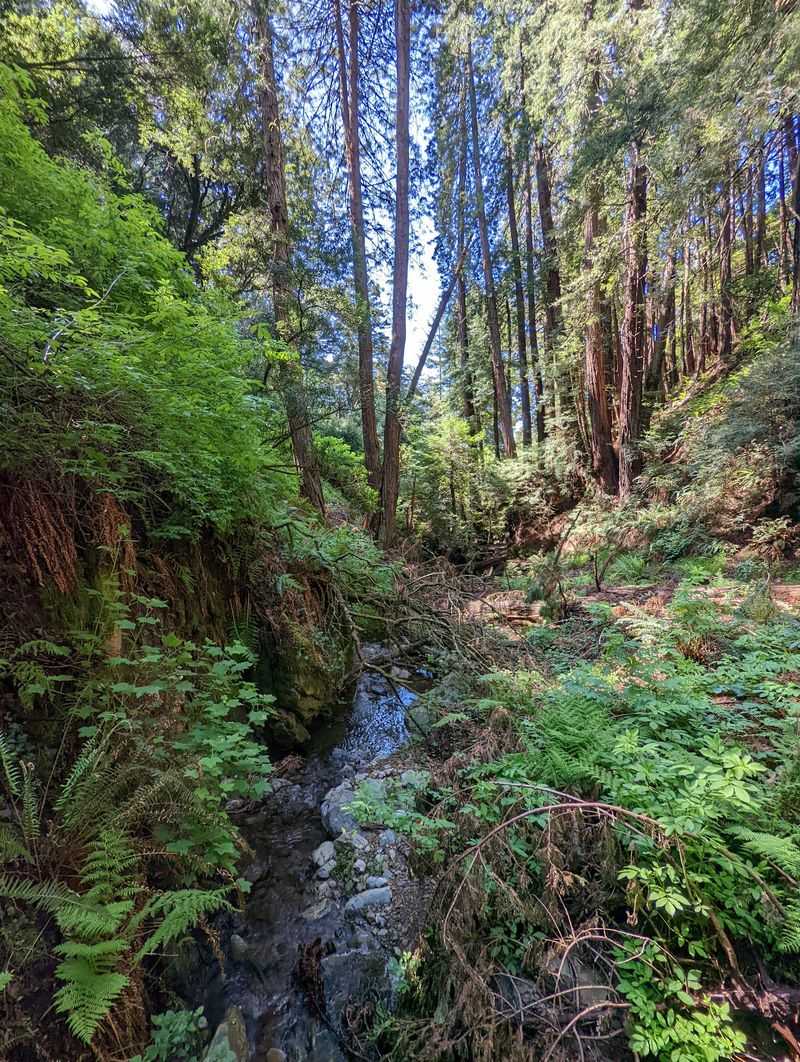
Plenty of Bay Area trails wander. Steep Ravine Trail dives straight into a canyon and stays there.
The trail sits in Marin County, California, USA, on the western flank of Mount Tamalpais. It lies within Mount Tamalpais State Park, a short drive north of the Golden Gate Bridge.
On paper, the route measures a little over 2.3 miles. That number feels modest until you notice the name, which is an honest bit of advertising.
The path follows a creek through a narrow, forested ravine. Much of the way stays shaded by redwoods and other tall trees.
It is described as a heavily trafficked trail, which tells you two things. First, it is popular for good reason, and second, you will rarely have it to yourself.
Many hikers treat it as one leg of a longer loop on the mountain. Others simply walk it as an out-and-back and turn around when their legs say so.
Either approach works, and both deliver the same headline features. The ladder, the waterfalls, and the canyon views all come along for the ride, no extra ticket required.
Old Mountain, Old Habits
Long before trail apps existed, Mount Tamalpais was already a weekend ritual for Bay Area families. Steep Ravine has been part of that habit for generations.
The mountain sits within reach of millions of people, yet its canyons still feel removed from city life. That contrast is a big part of the appeal.
Plenty of longtime Californians can trace their first real hike to this corner of Marin. Some first came as kids and now return with grandchildren in tow.
The trail itself does not need a dramatic backstory. Its story is mostly one of steady use, careful upkeep, and repeat visits.
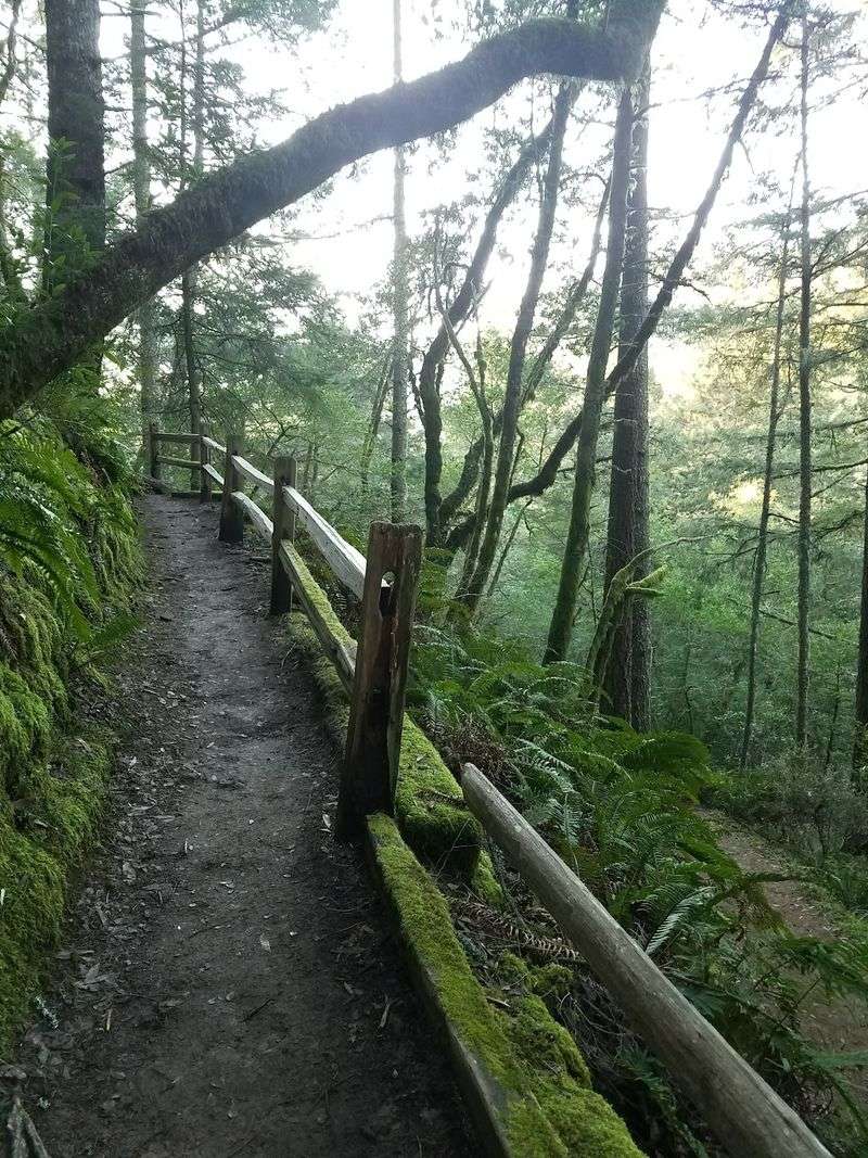
Stairs, bridges, and that famous ladder have been added to help people move through terrain that would otherwise be tricky. The result keeps a rugged canyon open to everyday hikers.
For a state where so much has changed, there is comfort in a path that still works the same way. You park, you walk, and the canyon does the rest.
That kind of continuity is rare. It may be the quiet reason this ravine keeps drawing people back year after year.
Redwoods Without the Crowded Grove
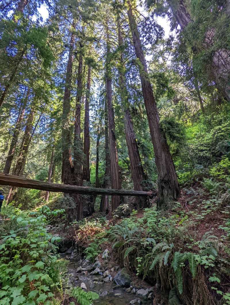
Redwoods tend to grab the spotlight in California, and here they share it with a creek. The pairing gives the canyon its character.
The trail runs amid lush forest, with redwoods rising along the slopes of the ravine. Ferns and moss fill in the lower layers.
Unlike some famous groves, this is not a flat boardwalk loop. You earn your trees here, one step at a time.
The canyon walls keep much of the route shaded. That makes it a popular choice on warmer Bay Area days when exposed ridges are less inviting.
Fallen logs and trunk bases add plenty of texture along the way. Kids tend to treat every big stump as a landmark.
It is worth slowing down in this stretch rather than charging through. The forest is the main event for long portions of the hike.
Trees this tall have a way of rearranging your priorities. Somewhere between the second bridge and the third switchback, the to-do list back home starts to feel very small.
The Famous Wooden Ladder
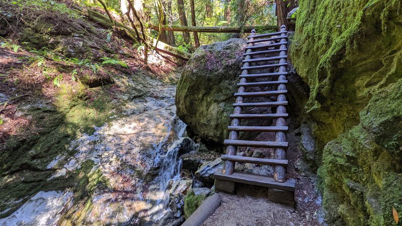
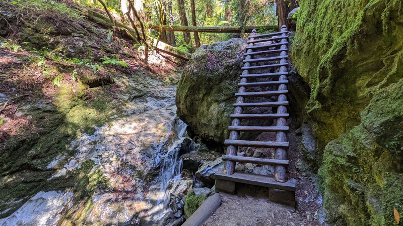
Ten-ish rungs of wood have made this trail famous. Few hiking features get talked about as much as this one.
Partway through the canyon, the path meets a section too steep for steps alone. A wooden ladder bridges the gap, and hikers climb it to continue.
The ladder is short, but it is a genuine climb. You will want both hands free, so a backpack beats carrying anything loose.
Traffic can back up here on busy days. A little patience goes a long way, since only one person can safely use the rungs at a time.
Families often turn the ladder into a small celebration. For younger hikers, it is the moment the walk becomes an adventure.
Anyone uneasy with heights may want to know about it in advance. It is the part of the route people mention most, for better or worse.
Love it or grip it tightly, the ladder is a step up in every sense. It is also the photo almost everyone leaves with.
Waterfalls in a Narrow Ravine
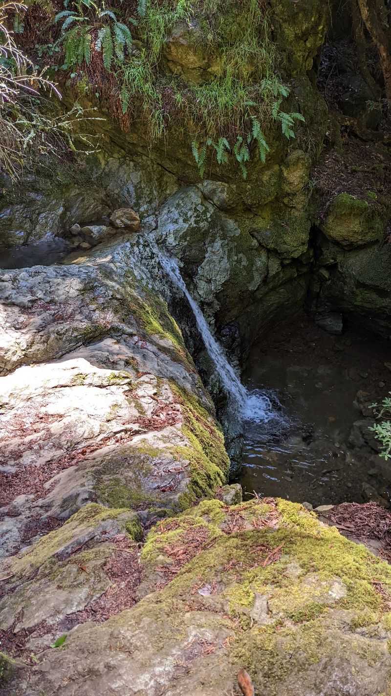
Water does most of the decorating in this canyon. The creek tumbles over rocks in a series of small falls along the route.
These are not giant plunges. They are cascades that appear around bends, often close enough to the trail to stop and look.
Flow depends heavily on the season. Winter and spring, after Bay Area rains, usually bring the fullest creek.
By late summer and fall, the falls can shrink considerably. The forest still delivers, but the water show is quieter.
Footbridges cross the creek in several places. Each crossing offers another angle on the water below.
Rocks near the falls can be slick, so it pays to keep to the path. Wet wood on bridges and the ladder deserves the same respect.
Timing a visit after a good storm is the closest thing to a secret here. Check recent weather, plan a dry day right after, and the canyon tends to put on its best performance.
Where the Pacific Shows Up
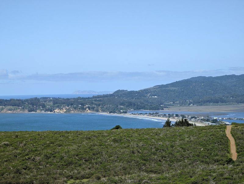
Here is the twist many first-timers miss: the canyon heads toward the coast. As the trees thin, the Pacific can come into view.
The lower end of the ravine sits near the shoreline of western Marin. Open slopes there offer glimpses of the ocean.
That shift from deep forest to wide water is part of why the route is loved. Few hikes this short change scenery so completely.
Coastal fog is common in this part of California. On some days the view is crisp, and on others it is mostly gray.
Hikers who build a loop with nearby connecting trails often get more open stretches. Those segments add to the ocean payoff.
A clear afternoon is worth waiting for if you have flexible plans. Morning marine layers sometimes lift as the day goes on.
Redwoods on one side and saltwater on the other make an unusual combination. It is the kind of contrast that reminds Californians why they put up with the traffic to live here.
Steps, Stairs, and a Real Workout
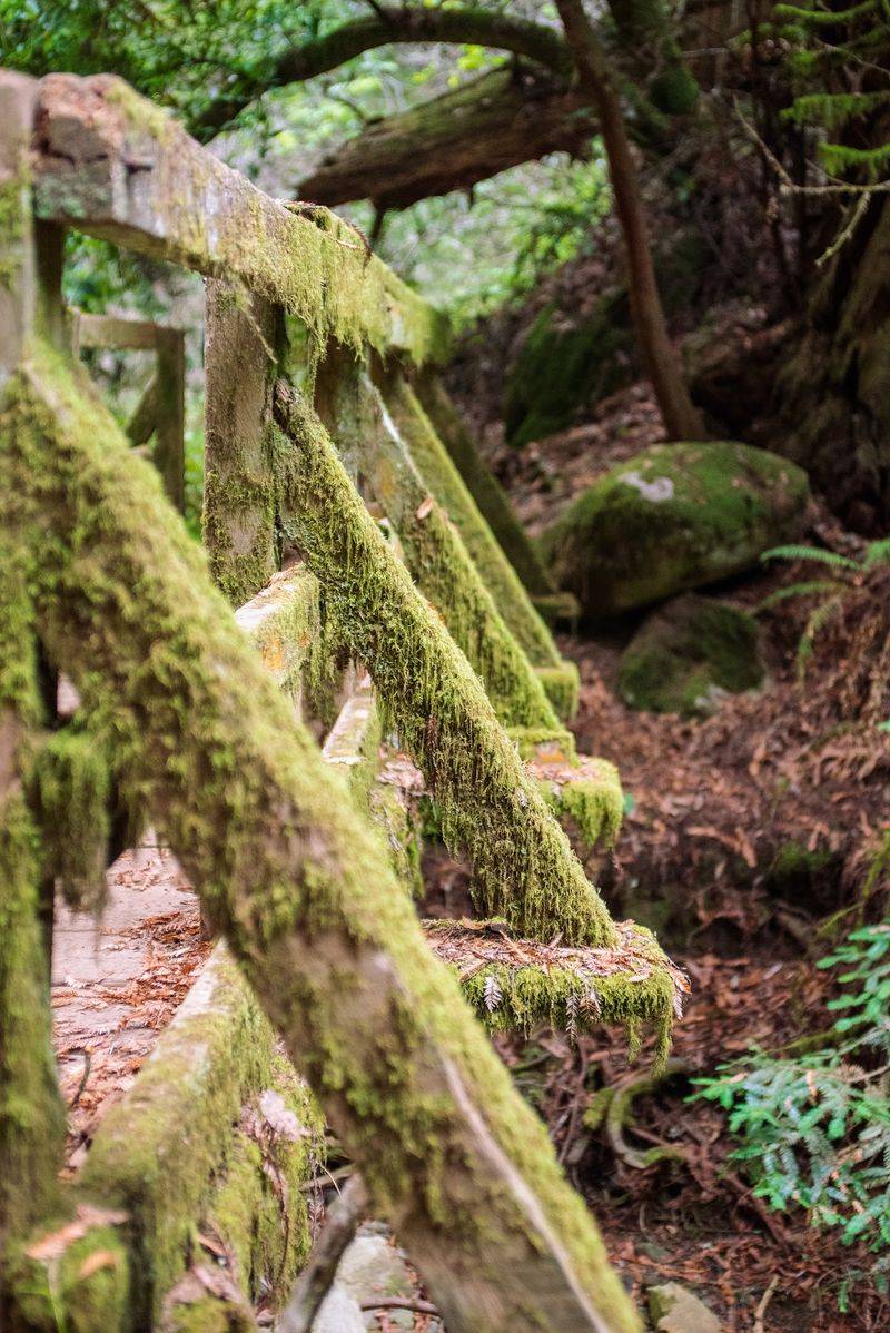
The name is not a marketing trick. Expect elevation change, uneven footing, and plenty of steps.
Much of the route climbs or descends along the creek. Wooden stairs and rock steps help, but they also add up.
Going uphill through the canyon is a solid workout. Going downhill is easier on the lungs and harder on the knees.
Trail shoes with good grip are a smart pick. Damp roots and wet wood are part of the deal for much of the year.
Hiking poles can help on descents, though they need to be stowed for the ladder. A small pack keeps hands free where it matters.
Bring water, even though the hike is short. The climbing makes it feel longer than 2.3 miles suggests.
Nobody needs to be an athlete to finish it. Steady pacing, regular breaks, and a sense of humor about the stairs will get most healthy hikers through just fine.
Who Feels at Home Here
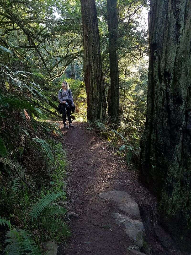
Part playground, part workout, part nature walk. The ravine suits a wider crowd than its name suggests.
Families with school-age kids often find it a winner. The ladder, bridges, and waterfalls keep young hikers moving.
Photographers come for the light filtering through the redwoods. The creek and cascades give them plenty of subjects.
Regular hikers use it as a dependable training route. The climbing packs a lot of effort into a short distance.
It is less ideal for anyone who needs a level, accessible path. The stairs and ladder make it a poor fit for strollers or wheelchairs.
Those uneasy with heights may want to scout the ladder area first. Some people simply turn around before it and still enjoy the forest.
The mood on the trail is friendly and busy. Expect a steady stream of fellow hikers, polite passing, and lots of pauses at the scenic spots.
Practical Notes Before You Go
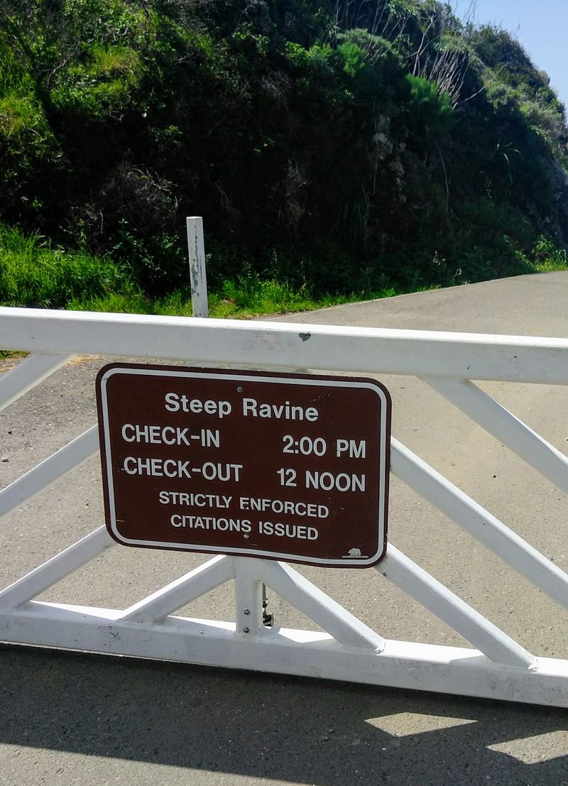
A little planning saves a lot of circling for parking. Popular trails on Mount Tamalpais fill up fast, especially on weekends.
The trail is part of Mount Tamalpais State Park in Marin County. Parking areas in the park may charge a day-use fee, and amounts can change, so check current rates with California State Parks before going.
Hours, closures, and conditions can also shift. Storms sometimes bring downed trees or temporary repairs.
Weekday mornings usually mean lighter traffic on the trail. Weekend afternoons tend to be the busiest.
The route is often hiked downhill from the upper end toward the coast. Plan your return, since climbing back up is a bigger effort.
Pack layers, as coastal weather can change quickly. Water, a snack, and a charged phone round out the basics.
Leave the area as you found it, and stay on the path. Small habits keep a well-loved canyon in good shape for the next family in line.
Worth Every Rung
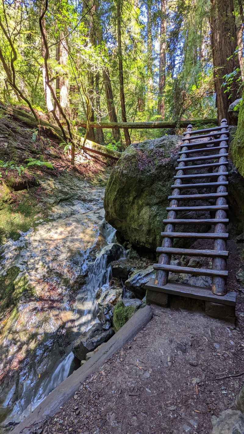
Some hikes give you one great view. This one hands out redwoods, waterfalls, a ladder, and an ocean glimpse in a little over two miles.
It is not a secret, and it is not quiet on busy days. Even so, the canyon keeps earning its reputation.
The value is hard to beat in a state where weekend outings can get pricey. Beyond parking, the main cost is effort.
Families build memories here, and many return years later. The trail rewards repeat visits as seasons change the creek.
Go after the rains for the strongest falls. Go on a clear day for the best chance at coastal views.
Plan for stairs, respect the ladder, and give yourself time. The canyon is short, but it is not meant to be rushed.
Steep Ravine delivers exactly what its name promises, and then a bit more. For a classic slice of old Marin, it remains one of the most satisfying climbs on the mountain.