
Affiliate disclosure: As an Amazon Associate I earn from qualifying purchases. Learn more
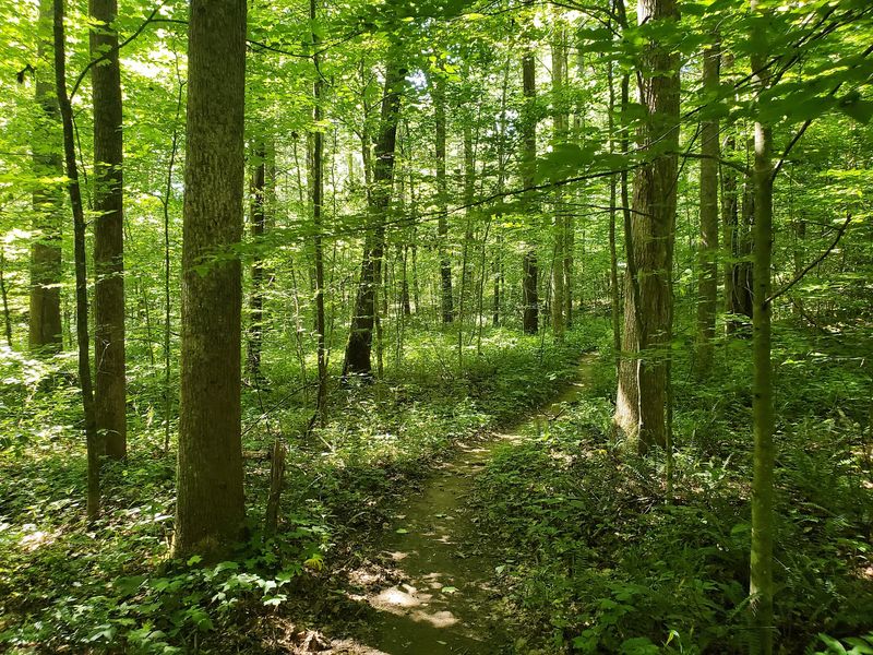
Somewhere in the Indiana woods, a trail marked with white diamonds sends runners and hikers on a long loop through creek beds, steep climbs and one spot where people have wandered off course. Near an old cemetery, the path gets tricky enough that at least one trail runner ended up on a road before finding the way again.
Still, the trail earns perfect marks from those who have tackled it, and it even beats a few local favorites. Here is the full story, from where to park to what the miles feel like, so you can decide if this loop belongs on your weekend list.
Finding the Trailhead in Indiana
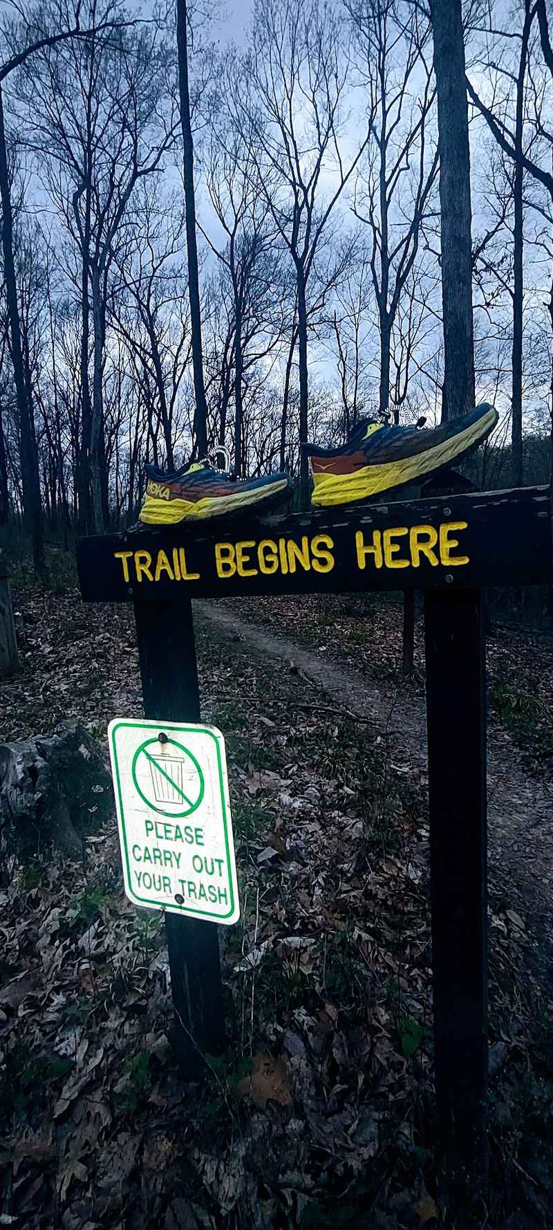
Three Lakes Trail sits in Indiana, USA, and it is a long loop built for people who like their forest time with a side of effort. Runners who know the area describe it as the best longer trail around.
The most useful starting point mentioned by regulars is near the DNR building at Cherry Creek Shelter. Parking there puts the trail within easy reach and gives first-timers a clear landmark to return to.
The distance depends on who is counting. One trail runner logged it at 10.1 miles, while another lists 9.4 miles, so it is smart to plan for a little over nine miles and leave room for extra if the route wanders.
Maps and GPS apps can help, but the trail does a lot of the talking on its own. White diamond markings guide the way from start to finish.
That makes the trailhead a good place to settle your plan. Pack water, charge your phone, and decide early whether you want the full loop or a shorter taste.
Hoosiers who like a place without fuss will appreciate the no-frills feel of this one. It is a trail first, and everything else is secondary.
Why Trail Runners Rate It Number One
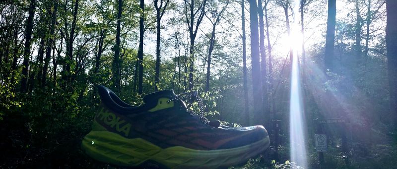
A five-star record is a rare thing, and this trail holds one from everyone who has weighed in. The standout phrase from runners is simple: the best longer trail in the area.
One runner has tried Low Gap and Trail 9 in Brown County and still picked this loop as the favorite. That is a bold claim in a state where Brown County trails have plenty of fans.
The reason has little to do with big vistas. Runners say they care more about challenge and fun, winding miles than about scenery on a postcard.
Trail running is the topic that comes up most when people talk about this place. It shows up as the main draw, and the reasons are easy to spot once you know the layout.
The route mixes terrain in a way that keeps the miles from blending together. Flat stretches give way to climbs, and the climbs give way to technical sections.
For anyone who wants to test their legs without driving to a famous park, this is a strong pick. The bragging rights are quiet, but they are real.
Miles of Winding Single Track
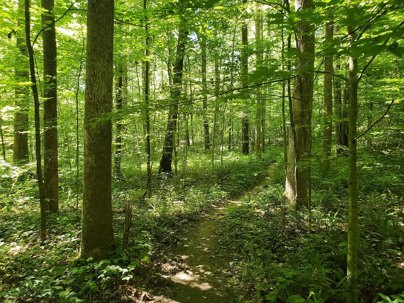
Single track is the heart of this loop. Runners point out that there are so many miles of it that the trail feels built for motion.
Single track means a path just wide enough for one person at a time. It rewards steady footwork and a bit of focus, and it keeps groups strung out in a friendly line.
The description from one runner says there are winding trail miles to rip through. That energy fits a path that rarely runs straight for long.
Between the curves, the trail changes pace. Some stretches are flat and quick, while others ask for more careful steps.
This variety is what separates a good long trail from a tiring one. Hikers can settle into a rhythm without getting bored, and runners can push when the ground allows it.
If your favorite kind of day involves a narrow path and no crowds, Three Lakes Trail delivers that in generous amounts. Wear shoes with a decent grip and leave the headphones for a different outing.
Jumping Creek Beds and Technical Ground
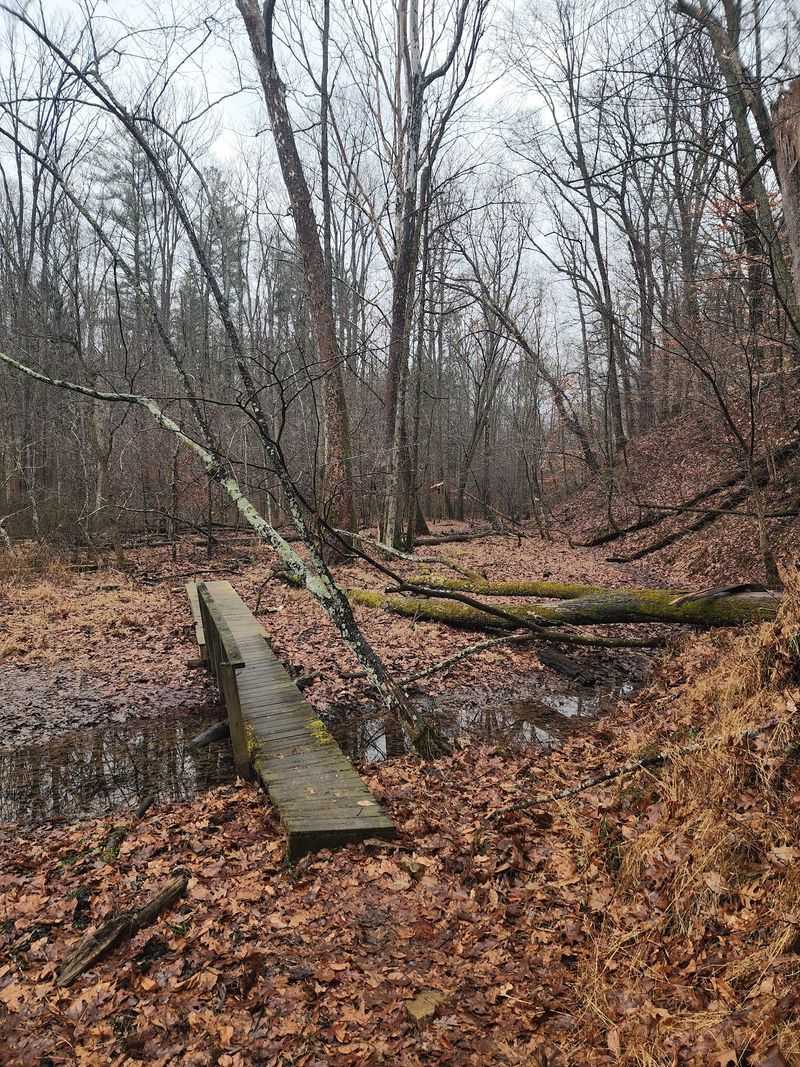
Creek beds are where this trail gets playful. One runner describes jumping across them as part of the fun, and that detail says a lot about the route.
Along with the creek crossings, the loop includes technical running. That means uneven footing and spots where each step needs a little thought.
Flat single track sits alongside those harder sections, so the effort is not constant. The mix keeps legs guessing and gives a chance to recover between the rough patches.
Hikers will find that the technical bits slow things down in a good way. A steady pace and a careful eye on the ground make these sections manageable.
Shoes matter here. One regular put it plainly: bring your trail running shoes and let the good times roll.
It is wise to check conditions before heading out, since creek areas can change with the weather. Local conditions are not covered in the available information, so a quick look at recent forest updates is a sensible step.
Done right, the creek beds become highlights rather than hurdles. They are the kind of detail runners remember long after the mileage fades.
Climbing the 1,389 Feet
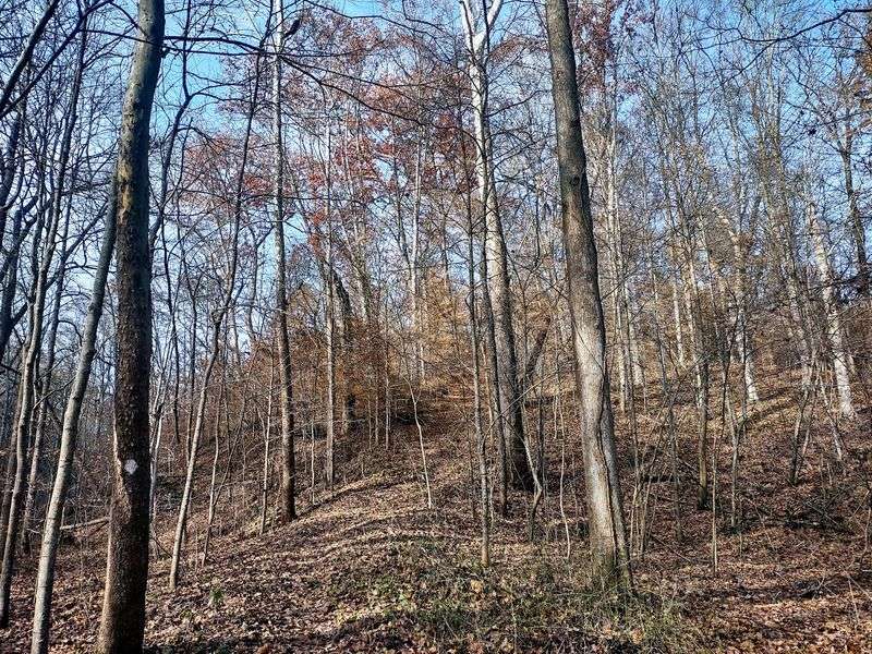
The numbers tell part of the story. One runner reports 1,389 feet of elevation gain over 9.4 miles, which is a fair amount of climbing for an Indiana forest loop.
That gain comes in the form of winding ups and downs rather than one giant hill. The trail rolls, then climbs, then drops again, and the cycle repeats.
For a hiker, it means the route is a workout even at a relaxed pace. Plan for extra time compared with a flat path of the same length.
Runners get a different kind of challenge. Descents are quick and fun, while the climbs ask for patience and a steady breathing rhythm.
Since the miles total well over nine, pacing is the key. Starting too fast is the easiest mistake to make on a loop like this.
Bring more water than you think you need and a snack for the second half. A trail that keeps climbing in small bursts can wear down anyone who skips the basics.
The payoff is the satisfaction of finishing something that takes real effort. That is exactly what earns a trail its loyal following.
Following the White Diamonds
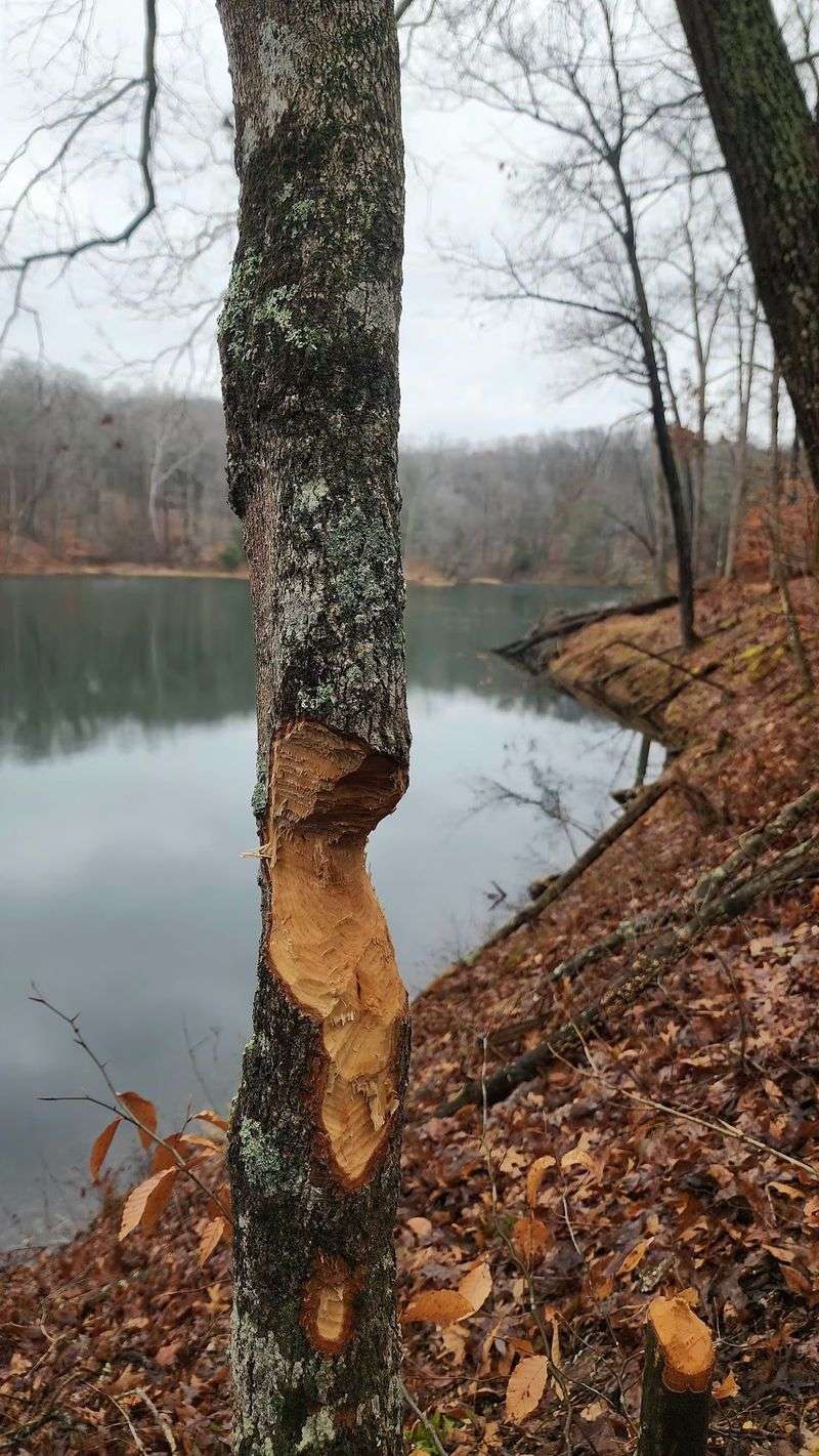
Navigation on this loop comes down to one symbol: the white diamond. Regulars say the trail is very well marked by diamond blazes throughout.
A blaze is a painted or placed mark on a tree or post that shows hikers they are on the right path. Keeping an eye out for the next one is a simple habit that saves a lot of trouble.
The markings are one reason newcomers can try the full distance with confidence. Even so, the route is long, and a missed turn can add unplanned miles.
A good habit is to pause whenever a blaze has not appeared for a while. Backtracking to the last mark is almost always faster than pushing ahead and hoping.
Carrying a downloaded map is a smart backup. Phone service can be unreliable in forests, so saving a map ahead of time is wise.
With the diamonds as a guide, the trail turns into a puzzle with a friendly answer key. Follow them, stay alert at junctions, and the loop will lead you back to where you began.
The Cemetery Spot That Trips People Up
Here is where the trail earns its mysterious reputation. One runner reports getting lost only once, and it happened near the cemetery.
The fix was simple enough. That runner came out to a road, turned left, and found the trail again.
It is a handy tip for anyone who loses the markings in that area. Stay calm, use the road as a reference, and look for the white diamonds to reappear.
The available details do not describe the cemetery itself, so it is best to arrive curious rather than expecting a set layout. Treat the spot with respect and keep to the marked path.
The area works as a landmark on the loop. Knowing it is there helps hikers keep track of where they are along the route.
Slowing down near this part of the trail is a good call. Check each blaze, glance at your map, and keep moving only when the next marker is in sight.
A short wrong turn here does not have to ruin the day. It just adds a story to tell back at the car.
Total Isolation Among the Trees
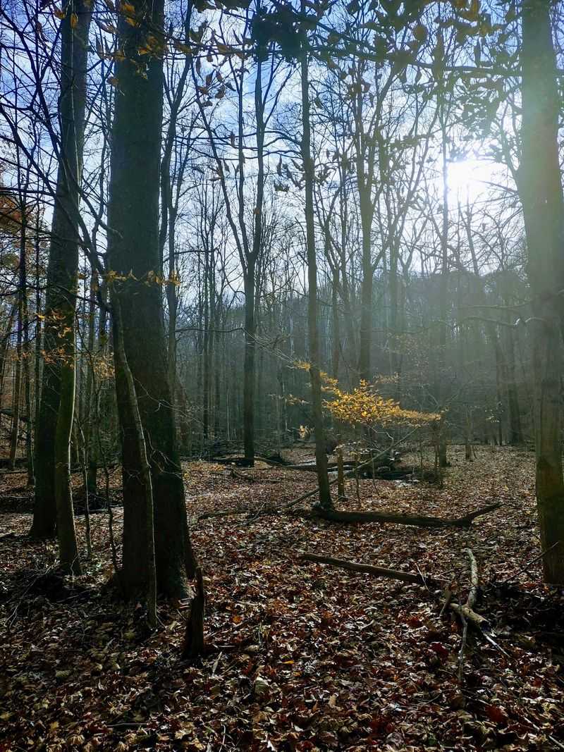
Solitude is a big part of the draw. One runner describes finding serenity and total isolation on these forest trails.
That sense of seclusion fits a long loop with plenty of single track. When the path winds through the woods for miles, it is easy to go long stretches without meeting anyone.
For hikers who want a break from busy parks, that kind of quiet is the main attraction. There are no big overlooks to gather around and no crowded stops along the way.
Runners say they care less about vistas and more about the trail itself. Here, the forest is the experience, and the miles are the reward.
Being alone also calls for a bit of planning. Tell someone where you are going, carry water, and keep a map handy in case the path turns confusing near the cemetery.
The data does not mention wildlife or specific plants, so it is best to let the woods surprise you. Go with an open mind and a steady pace.
Plenty of Hoosiers say they love a place where nobody is in a hurry. This trail leans right into that mood.
Who Will Love This Loop
Trail runners are the clearest fans of this route. They praise the mix of creek beds, technical sections, flat stretches and rolling hills.
Experienced hikers will enjoy it too, as long as they are ready for a long day. With a distance reported between 9.4 and 10.1 miles and more than 1,300 feet of climbing, it is not a casual stroll.
Newer hikers can still try it with preparation. Starting early, packing extra water and being willing to turn around are all sensible choices.
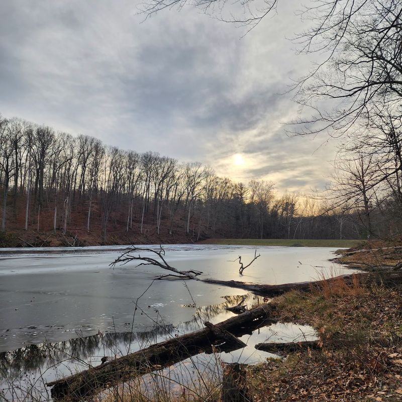
People who want scenic overlooks may find the experience a little different from what they expect. The praise here centers on the winding trail itself, not on big views.
If you like local-knowledge spots where the main event is the path under your feet, this one fits. It rewards patience, good shoes and a sense of humor about the occasional wrong turn.
Families with young children may want to think carefully about the distance. The available information does not cover shorter options, so it is best to check with the forest office before heading out.
Parking and Entry Notes
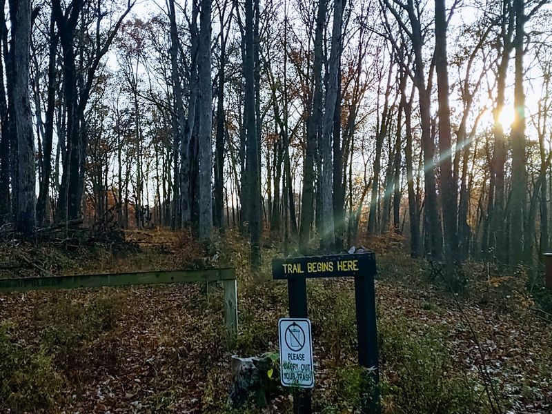
Getting started takes little fuss. A runner who has done the loop says to park near the DNR building at Cherry Creek Shelter.
The same runner noted that the park is free to get into, and there was no fee at the time of that visit. Policies can change, so it is wise to confirm before you go.
Hours are not listed in the available information. Plan to arrive in daylight and give yourself plenty of time, since the loop is long and the terrain slows things down.
The address is simply listed as Indiana, USA, so a map app set to the trail name or the Cherry Creek Shelter will be the best way to navigate. Saving directions offline is a smart idea in case service fades.
Pack the basics: water, a snack, sturdy trail shoes and a downloaded map. Those few items cover most of what a long forest loop demands.
Hours and conditions may vary, so check before you go. A quick call or online check with the state forest can save a wasted drive.
A Soft Verdict for the Brave
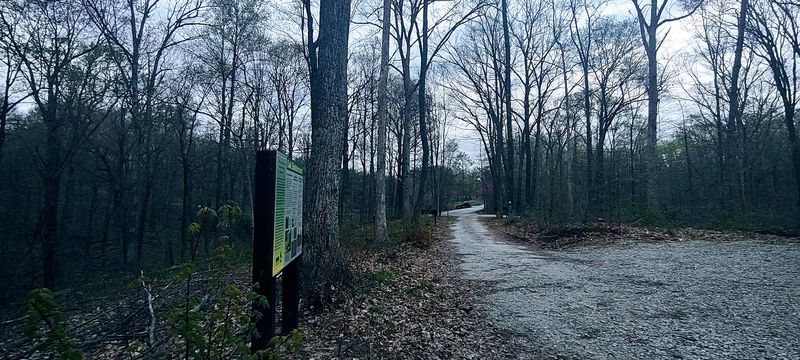
Three Lakes Trail does not need big claims. A perfect score from the few who have shared their thoughts says plenty, and the details back it up.
It offers long single track, creek jumps, technical ground and rolling climbs. It also brings a quiet that is hard to find on busier paths.
The cemetery section adds a dash of mystery and one spot to watch closely. With the white diamonds in sight, most hikers should find their way without trouble.
It may not be the right pick for someone chasing views or looking for a short walk. Anyone who wants a real workout in the Indiana woods will find a lot to like.
Go with good shoes, enough water and a little patience. Take your time near the cemetery, enjoy the winding miles and let the forest do the rest.
For Hoosiers who love a trail that earns its reputation without any hype, this loop is worth a weekend morning. Finish it, and the bravery claim might just feel deserved.