
Affiliate disclosure: As an Amazon Associate I earn from qualifying purchases. Learn more
Most Arizona drivers blast along Interstate 8 between Casa Grande and Gila Bend without a second glance at the saguaro-covered land rolling past the windows. That is a shame, because a massive protected slice of our own backyard sits just beyond the cattle gates and gravel turnoffs.
It holds mountain ranges, pioneer trail routes, an old ranch, and quiet enough to make a busy Phoenix commuter forget what a traffic light is. Keep reading to find out where it is, how to reach it without a wrong turn, and why this stretch of desert deserves a spot on your next weekend plan.
A Monument Hiding Just Off Interstate 8
Plenty of Arizonans have driven right through it without knowing.
The Sonoran Desert National Monument sits in the open country near Maricopa, AZ 85239, in the United States. It stretches across a huge swath of south-central Arizona, with Interstate 8 slicing through its southern portion.
Unlike a typical national park, the monument is managed by the Bureau of Land Management. That means no grand entrance arch, no giant parking lot, and no crowds lining up at a ticket booth.
What you get instead is raw, open desert. The land features trails for hiking and horseback riding, plus some of the most impressive saguaro stands in the state.
Access often begins with a simple dirt road branching off the highway. Some turnoffs are about two miles down a gravel path from I-8, while others start at a humble cattle gate.
It all feels a little like a secret that the state forgot to announce. The monument holds a solid 4.5-star standing across more than 3,300 public opinions, which says a lot for a place with so few signs pointing the way.
So where did this sprawling protected area come from in the first place? The answer goes back a couple of decades, and the story starts with a single signature.
The Story Behind a Presidential Signature
Back in January 2001, a presidential proclamation set this land aside as a national monument.
The goal was simple on paper. Protect a remarkably intact piece of the Sonoran Desert ecosystem before development crept too close.
The monument covers close to half a million acres. That is a lot of cactus, canyon, and mountain for one protected area, and it makes the monument one of the larger blocks of conserved desert land in Arizona.
Management falls to the Bureau of Land Management, which runs the site as part of its National Conservation Lands. Their official page on the BLM website remains the best source for current rules, closures, and updates.
Because it is BLM land, the feel is different from the polished parks many people know. Roads are mostly dirt, facilities are few, and the land is left largely as it has been for ages.
That hands-off approach is part of the charm. There is a real sense that the desert here is doing its own thing, with people simply borrowing a small corner of it for the day.
Protection on paper only matters if the land itself is worth protecting, of course. And the next thing to understand is just how dramatic the terrain inside these boundaries really is.
Mountain Ranges on Every Horizon
Flat is not the word for this desert.
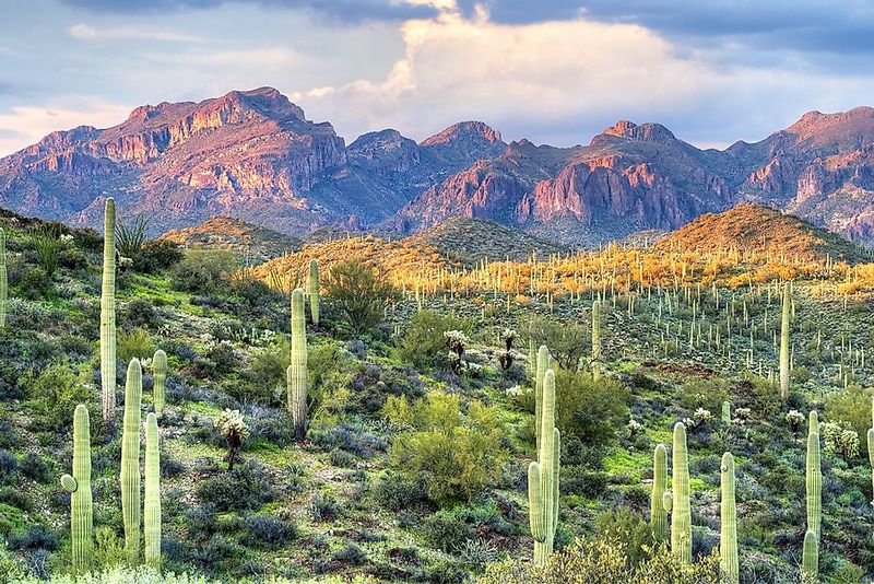
The monument spreads out from mountain range to mountain range, giving the land a wide-open bowl feeling with rugged peaks marking the edges. The Maricopa Mountains, the Sand Tank Mountains, and the Table Top Mountains all fall within or along the protected area.
Table Top Mountain is the showstopper. Its distinctive flat summit makes it easy to spot from a long way off, and the view of it from the desert floor ranks as a favorite for many who make the trip.
Between the ranges, broad valleys and dry washes carve through the landscape. The washes tend to support healthy stands of trees, which stand out against the surrounding desert scrub.
Rock formations pop up along many of the dirt roads, and some areas even hold scattered lava rock. Bits of quartz also appear in parts of the monument, adding a small geology lesson to any walk.
For photographers, the combination of distant peaks and nearby saguaros is hard to beat. Almost any pullout can produce a frame-worthy shot without much effort.
Still, the mountains are only the backdrop. The real stars of the show stand much closer to the ground, and they have arms.
Saguaros Standing Guard
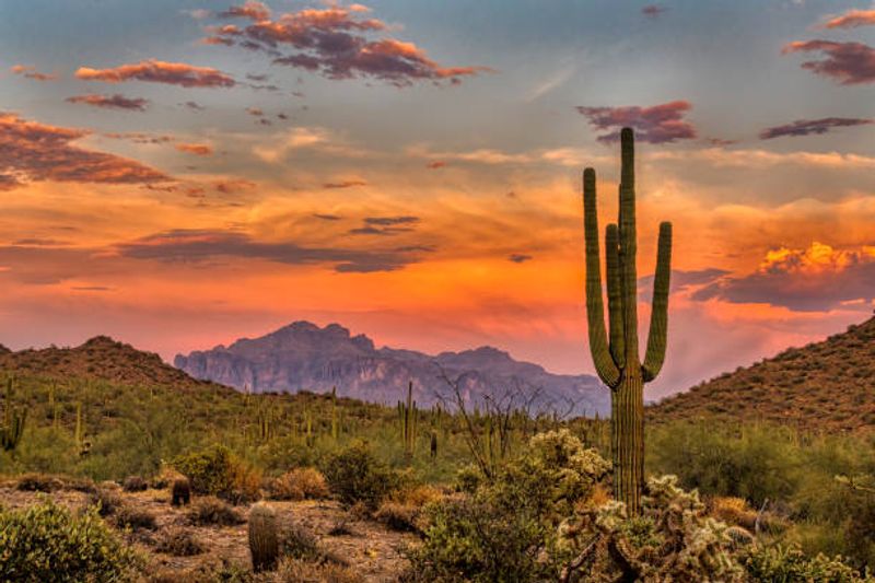
Cactus comes up more than any other topic when people talk about this place, and for good reason.
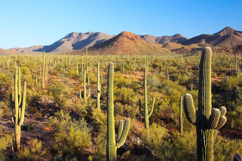
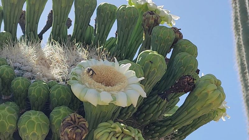
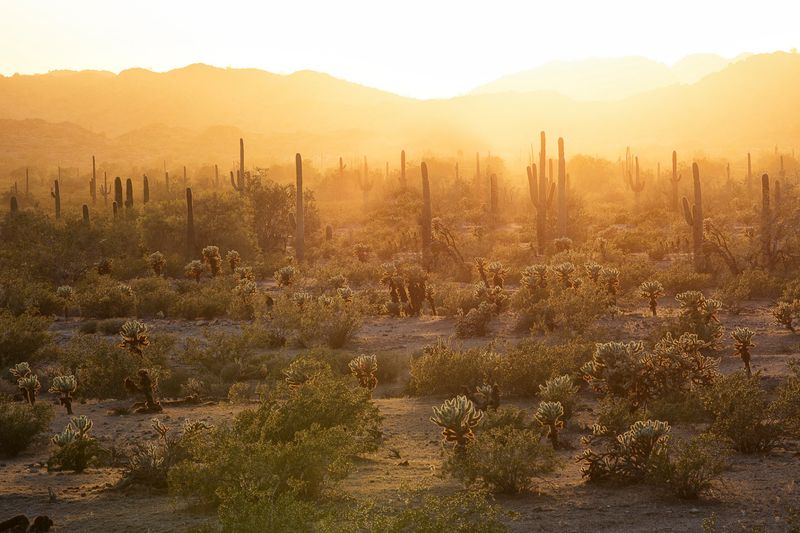
The monument protects some of the most vigorous saguaro forests in the Sonoran Desert. Some of these giants tower overhead, with arms reaching out in every direction.
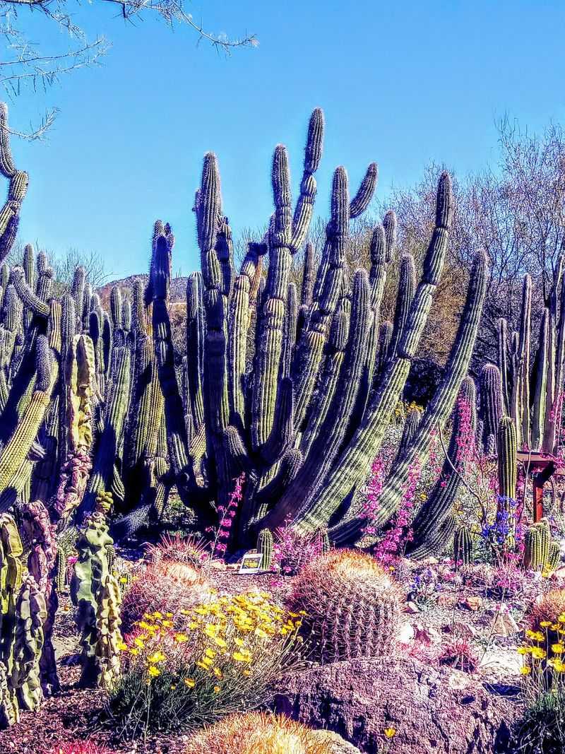
Saguaros are the headliners, but they share the stage. Barrel cactus appears throughout the area, along with a mix of other species that can stump even longtime Arizona residents trying to name them all.
Keep an eye out for crested saguaros, sometimes called saguaro queens. These rare cacti grow a fan-shaped crown at the top, and spotting one feels a bit like winning a desert scavenger hunt.
Quick fact: Arizona law protects saguaros, and it is illegal to deliberately damage, cut down, or run over a cactus. The rule applies out here just as it does anywhere else in the state.
Creosote bushes fill much of the ground between the big cacti. Together, they create the classic Sonoran scene that shows up on postcards, only without a gift shop in sight.
All that plant life supports a surprising cast of creatures. Some are easy to spot, and others take real patience to find.
Wildlife With a Talent for Hiding
A quiet moment out here can turn into a surprise wildlife show.
Plenty of creatures call the monument home, and many of them only reveal themselves when people slow down and stay still. Jackrabbits, some of them impressively large, dart between shrubs, while geckos and other lizards scurry across rocks.
The monument is also known habitat for desert tortoises and Gila monsters. Spotting either one is a treat, since both tend to keep a low profile.
Birds add another layer of activity. A variety of species make use of the saguaros, washes, and desert trees scattered across the landscape.
Not every resident is quite as welcome. Snakes and scorpions live here too, so stepping off the road calls for extra attention to where feet and hands go.
A few simple habits help keep encounters safe:
Stay on roads or clear paths when possible, and watch the ground ahead.
Give animals plenty of space, especially reptiles resting in the open.
Wildlife sightings here are rarely guaranteed, which makes each one feel earned. And speaking of things that reward patience, the monument also holds traces of travelers who crossed this land long before any highway existed.
Pioneer Routes and an Abandoned Ranch
Long before cars zipped along I-8, people crossed this same desert on foot, on horseback, and by wagon.
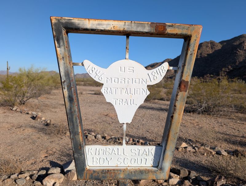
Several historic routes pass through the monument. The Juan Bautista de Anza National Historic Trail, the Mormon Battalion Trail, and the Butterfield Overland Stage route all traced paths across this region.
That gives the monument a layered story. The same valleys that look untouched today once served as corridors for expeditions and stagecoach travel.
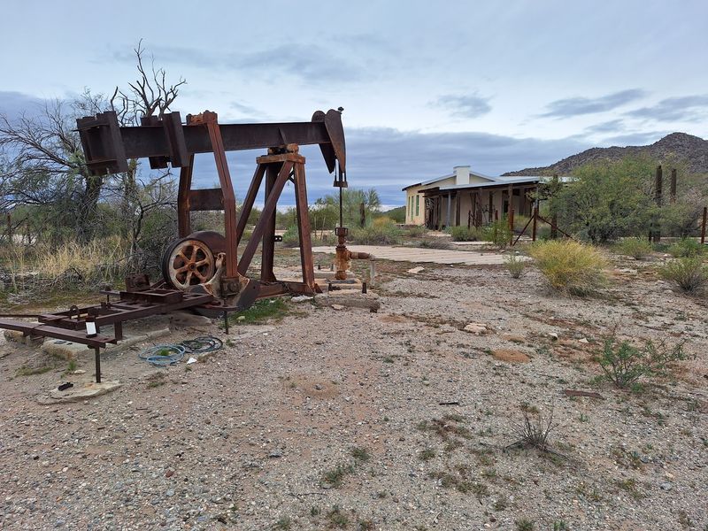
Closer to modern times, ranching left its mark too. Vekol Ranch is a popular stop for people curious about the area’s past, and it comes up often as a place packed with history worth exploring.
An abandoned ranch near one of the camping areas also draws curious wanderers. It makes a fun detour for anyone who likes poking around old structures and wondering who lived there.
History here is not behind glass or velvet ropes. It sits out in the open, which means respectful behavior matters.
Leave old buildings and artifacts exactly as they are found. Future explorers deserve the same chance to discover them.
Of course, reaching some of these historic spots takes a bit of effort. The roads leading to them have a personality all their own.
Dirt Roads That Test Your Tires
Pavement is a rare commodity inside the monument.
Most routes are gravel or dirt, and conditions range from smooth and easy to rocky and rough. Some folks head in with an ordinary car or even a minivan, while others find the terrain too adventurous a few miles in.
The general rule is simple. A standard vehicle can handle some entry roads with care, but deeper exploration is better suited to an SUV, truck, Jeep, or dirt bike.
Gates appear along certain roads. They can be opened for those who want to explore farther, as long as they are closed again behind you, since cattle still graze in parts of the area.
One well-known access point is a dirt road between mile markers 147 and 148 on I-8, starting at a cattle gate. It sits about a mile from a roadside picnic area.
Off-roaders love the 4×4 trails, and ATV riding is a popular way to cover ground. Designated routes are the way to go, since driving off-trail can harm fragile desert plants and soil.
Wheels are fun, but they are not the only way to explore. Some of the best moments here happen at walking speed.
Trails for Boots and Horseshoes
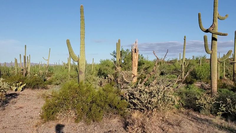
Hiking ranks near the top of the list of reasons people make the drive.
The monument features desert trails for both hikers and horseback riders. Routes wind through canyons, across open flats, and toward viewpoints that show off the surrounding ranges.
Some trails come with informative signs that explain the ecosystem along the way. That turns a simple walk into a quick crash course on desert plants and animals.
Many people also enjoy wandering the quiet gravel and dirt roads themselves. These routes are rarely busy, making them a relaxed option for walking with dogs.
Timing is everything in the low desert. February stands out as a wonderful month to hike, since temperatures stay comfortable and far from the scorching levels of summer.
Daytime heat can climb quickly the rest of the year, so planning matters:
Start early in the day, especially outside the cooler months.
Carry more water than seems necessary, plus sunscreen.
Expect to get dusty, because this is the desert after all.
Plenty of hikers find that a single afternoon is not enough. That is exactly why so many decide to stick around after dark.
Boondocking in Big Quiet Country
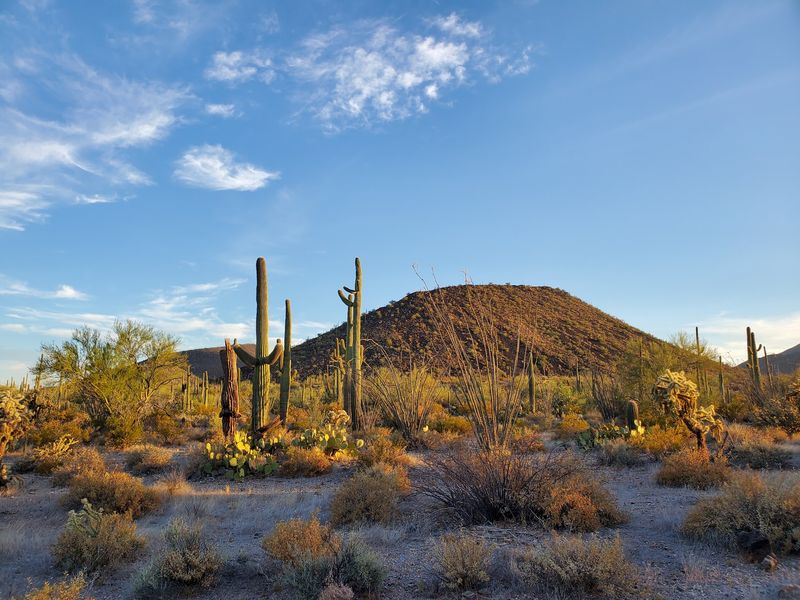
Campers who crave elbow room have found their spot.
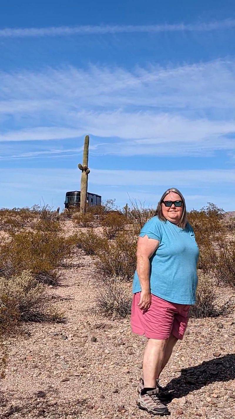
Boondocking is a popular way to experience the monument. RVers and tent campers set up along dispersed areas, some spending several nights soaking up the solitude.
Quiet is one of the most frequently mentioned qualities of the place. At certain spots, a camper might see only one other RV the entire stay, especially during the cooler months.
At least one camping area includes a restroom, which is a welcome bonus in such a remote setting. Otherwise, facilities are minimal, so campers should arrive fully prepared.
Easy access from the freeway makes a few camping areas convenient for travelers passing through. Some spots sit only a short drive down gravel from I-8.
One sore point comes up again and again. Trash and broken glass left behind by careless people mar some areas, and that is a real shame for such a special landscape.
The fix is simple: pack out everything that gets packed in. Better yet, grab a few extra pieces of litter on the way out.
Staying overnight also unlocks one of the monument’s biggest perks. The show that happens as daylight fades is worth planning an entire trip around.
Sunsets, Sunrises, and a Desert in Bloom
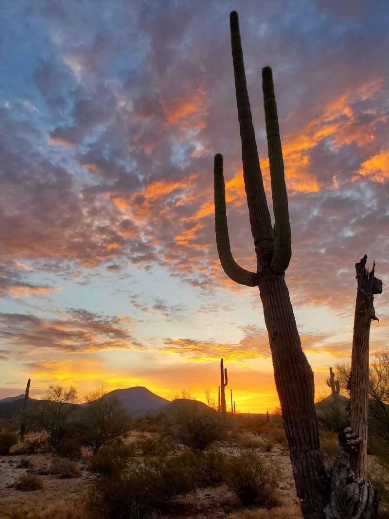
Wide-open space pays off twice a day.
With mountains ringing the horizon and little to block the view, the monument offers clear looks at both sunsets and sunrises. Sunset shows up again and again as a highlight for campers and day-trippers alike.
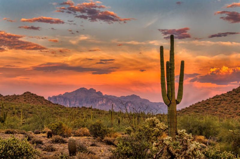
Saguaro silhouettes against the evening sky make for classic Arizona photos. Few places in the state deliver that shot with so little competition for the best spot.
Spring brings its own kind of spectacle. After good rains, the desert turns noticeably green, and creosote bushes produce yellow blooms.
Ground cover joins in during bloom season, with purple, yellow, and white flowers popping up across the desert floor. Trees along the washes look especially healthy during these stretches.
Bloom timing depends heavily on rainfall, so no two years look quite the same. Checking recent conditions before heading out can help match the trip to the best moment.
Pro tip: Arrive well before sunset to scout a spot, then plan on driving out slowly afterward, since dirt roads can be tricky in low light.
A scene like this appeals to a wide range of people. Figuring out who fits best here says a lot about the monument’s personality.
Who Feels Right at Home Here
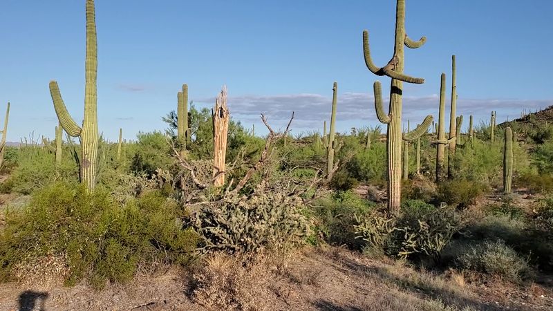
Some places cater to everyone, and some places cater to people who know exactly what they want.
The monument leans toward the second group. It suits those who value open space, self-reliance, and a slower pace over gift shops and paved paths.
Hikers and horseback riders find plenty of room to roam. Off-roaders and ATV riders appreciate the network of dirt routes, while boondockers enjoy the peaceful camping.
Dog owners like the uncrowded roads for long walks. Photographers get saguaros, mountains, and sunsets without jostling for position.
Groups have found creative uses for the space too. Guided Humvee tours and team-building scavenger hunts have taken place here, proving the desert can double as a pretty unusual meeting room.
On the flip side, anyone expecting a polished park experience may feel a bit lost. Signs can be sparse, and a few folks have found the monument confusing to locate.
The mood overall is calm and unhurried. It rewards people who show up prepared and ready to explore on their own terms.
Preparation, as it turns out, starts with simply finding the place. That is where a little insider knowledge goes a long way.
Finding Your Way In
GPS apps and this monument do not always get along.
Directions can send drivers down very remote dirt roads, some of which require four-wheel drive. Coming from the west can be especially tricky, so double-checking routes ahead of time is smart.
Interstate 8 offers the most straightforward access. The dirt road between mile markers 147 and 148 at the cattle gate is a known entry point, near a roadside picnic area.
A rest stop along the highway includes informational displays about the desert. It makes a handy spot to stretch, learn a little, and snap a few cactus photos.
From the Maricopa side, a lesser-known entrance sits roughly five miles along West Maricopa Road, on the left. It is easy to miss, so slow down and watch closely.
A few essentials before heading out:
Fuel up whenever possible, since services are scarce.
Bring plenty of water and sunscreen for everyone in the car.
Check the BLM website at blm.gov for current conditions, rules, and any closures, since no set hours or fees are posted for general access.
With the logistics sorted, only one question remains. Is the drive really worth it?
A Wild Backyard Worth the Detour
Arizona has no shortage of famous landscapes, yet this one still flies under the radar.
The monument delivers a rare combination. Towering saguaros, rugged mountain ranges, historic trail routes, and genuine solitude all sit within an easy drive of Phoenix and the growing Maricopa area.
It is not a place that does the work for you. Roads can be rough, signs can be sparse, and summer heat demands respect.
That rough-around-the-edges quality is exactly what makes it special. The land feels honest and unpolished, much like the desert many longtime Arizonans grew up exploring.
Cooler months are the sweet spot for a first trip. A February hike, a spring bloom drive, or a night of boondocking under open skies can each make a strong introduction.
Treat the place well while there. Stay on designated routes, protect the cactus, and haul out every scrap of trash so the next group finds it just as wild.
Next time I-8 stretches out ahead, consider taking that gravel turnoff instead of rushing past. A little dust on the tires seems like a fair trade for discovering one of the biggest protected desert spaces right here in our own state.